If you’ve ever been on Rt23A in Hunter, NY, you are probably well aware of North-South Lake and the abundance of tourist it brings in each year – thousands to be… well, vaguely exact. But did you know there’s a nice little hidden gem close by? Colgate Lake is one of the most peaceful places I have ever visited in NY. My cousin introduced me to it a couple of years ago and boy, was it the best place to be.

Our visit started by trying to trek out to Kaaterskill Falls, but considering it was Columbus Day weekend and leaf peeping season, there was overcrowding and no parking. We then went by North-South Lake and found that the cars were idled almost back to the road just trying to get in there. We were all just done by that point and kinda wanted to chillax somewhere and my cousin lead us here – and I couldn’t be more glad.
You can go fishing here, kayak/canoeing, or even just bring a chair or stand on the docks and relax – and at the right time of day, watch the sunset. Something about just sitting here and chatting with the people you love (and right now, miss) makes a long four hour trek worth it. I highly suggest visiting Colgate Lake, but I also suggest that if you see this article, you keep it a little hidden gem to you. While anyone and everyone could find it, it’s not the first place suggested to tourists to go.


I’m not going to give even relative directions to this lovely lake – you just just have to find it for yourself.
Have fun and be safe out there!


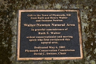 This wonderful area was a gift to the town of Plymouth, NH by Ruth and Henry Walter and Suzanne Newton (see photo at left). Therefore, the two main trails into the forest from the Cummings Hill Rd Entrance can be found bearing their names. The ‘Ruth Walter Trail’ is most likely the quickest and easiest to get to the falls.


")


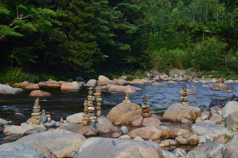 ROCK CAIRNS


")
")
")
")
")
")


 The large boat structure found in the park is the Liberty Ship Memorial. During WWII, the park was the site of major shipbuilding of Liberty Ships and the structure serves as a memorial to the heritage of the park.


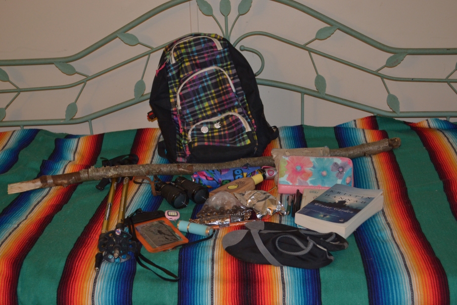
 First and foremost, after my backpack of course, are my wallet and diabetic supplies. As a T1Diabetic, it’s kind of necessary to have those!


 My favorite water bottle, of course.
 Hair accessories; a couple barrettes, a couple hair elastics and my bandana. These all come in handy now that my hair has grown out!
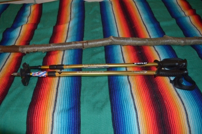 Walking sticks! Obviously, these don’t fit in my backpack, but one of the two is usually with me when hiking.
 Last but not least, one of my eleven pairs of sunglasses comes with me. Protecting your eyes is important, y’all!


")


