Beaver Brook Falls – Keene, NH

DSC_0583DSC_0580

Overall Rating: 2/5
Swimming Not Allowed
Handicap Accessible – falls are on a paved road but there’s not much to see roadside

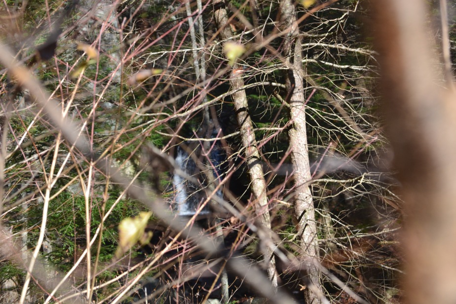
Beaver Brook Falls is an odd little place. It sits off an old paved road just outside of the central Keene area. The road is now closed to vehicular traffic, but you can still hike up to the falls and have a little adventure! I’d like to mention, if you’re like me and hunt waterfalls on-line a bit before going to see them, this is one that I’ve seen several pictures of where the area is completely clear and you can see straight to the falls from the road; pictures from both old postcards and from about ten – fifteen years ago now. The area has changed quite a bit and is not maintained as I assume it once was. You really have to try in order to see this waterfall from the roadside!

Although the main attraction here is the waterfall and trying to get down to it, there are a few other places along the way to see that would be quite nice for other ventures. Part of the brook on which the cascade can be found runs under the old road at the beginning of your walk. If we had known just how much of the waterfall we would view when we first visited this area, I think we would have stopped at this little bridge with a couple of chairs, a good book, and just sat, watched and listened to the babbling brook.
There are a couple of different rock ‘walls’ (for lack of a better term) on the left side of the road as you’re walking up to the falls, one of which features a side profile of what is supposed to be a man’s face. The profile can be viewed both walking to and from the falls. Unfortunately, at the moment I am unable to find the name or any other information online that tells you the name, however, by the entrance gate, there is a sign telling you the couple different attractions you’ll see on your walk.


DSC_0574
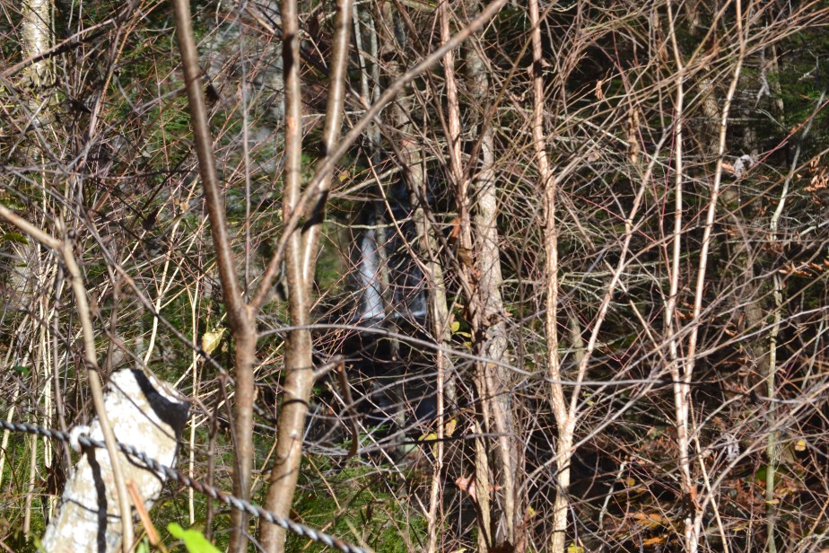
You can just barely make out the waterfall behind the trees.


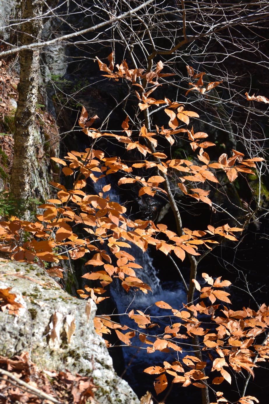
The falls themselves are only about a 12ft drop with three small tiers, but are still a pretty cool sight from above or below (below being per pictures I’ve seen… sorry, folks, I don’t have any personally.) The falls aren’t really complicated to find; you can hear and partially see them about .55 mi up the old road. However, if you’d like to see them straight-on, you would need to scramble down a hill a little bit. It’s best to do this downstream from the falls (not right at them) and with tons of bug and tick spray. Like previously mentioned, the area is covered in tall grass and since this season’s tick population is so terribly terrible, please take precautions!

Here are some other things you might see while visiting the area:


In order to find Beaver Brook Falls, follow NH Rt 9 into Keene. Turn onto Washington St, then in .25mi turn left onto Concord Rd, then another almost immediate left onto Washington St Ext. Keep going down the road to the yellow gate; park in front of the gate and hike up the road to the falls.

Have fun and be safe!!


Albany Covered Bridge – Albany, NH

Overall Rating: 3/5
Swim Rating: 3/5
Hike Distance/Time: less than .1mi/less than 5min
Hike Difficulty: Easy
Fee: $3/car
Handicap Accessible // Restrooms Available
Covered Bridge #49
More information on the bridge structure and history can be found here.


Covered bridges are one of the biggest attractions in New Hampshire, whether you’re a local or a tourist. Some have waterfalls just below them, some are old railroad bridges/trusses, some are now closed to actual traffic but left roadside just for viewing and historical purposes, and most of them span the width of some sort of waterway. Albany Covered Bridge spans the width of the Swift River and connects NH Route 112 and Dugway/Passaconaway Roads.

You could stop at just taking pictures in front of and from the bridge in the fall (the most popular time for visitors), but in other seasons, mostly summer, there’s lots of other stuff to do as well. The following are just a few:

  • To the left and right, both before and after the bridge, there are rock paths down to the river. You can sit on the large boulders here and enjoy the coolness of the water and a picturesque view of the bridge.
  • If you follow the bridge and head to the right after crossing, less than .1mi from the bridge, you’ll find the Boulder Loop Trailhead. From my findings online, the views are gorgeous from the top, but I have yet to climb the trail, so I can’t give you much more than that.
  • About .9mi away from the bridge there’s Big Brook which feeds into the Swift River. Just before the brook is a driveway big enough for two cars (please be courteous; it’s not a place visited often, but it’s still nice to leave a spot if someone comes along and is interested). There are tiny little waterfalls created here by the boulders which sit in the brook. It’s nice, cool and relaxing to sit here and enjoy the water. Just a couple warnings: it’s super cold at the brook; the sun doesn’t really hit it because of such dense tree cover, which can be very shocking to the system if you’re not expecting it. Also, BRING BUG SPRAY. We threw some on the day we went, which helped a bit, but we noticed bugs flying all around us. Not sure it’s really a place you want to stop without spray.

There’s a few more things to do off of Passaconaway Rd, but that’s it for what’s close by the bridge. It’s a truly lovely spot with more to it than just a bridge.

The water is not extremely deep here, but the current is strong so please swim at your own risk. If bringing small children, I highly suggest taking them to the Dugway/Passaconaway Rd side of the bridge and heading to the right. There’s a little bench here and just below is a small sand area. The rocks can be a bit slippery even when dry, so the safest bet would be to head here.

Finding Albany Covered Bridge is pretty simple. If you’re heading west, it’ll be 6 miles from Rt 16. If you’re heading east, it’ll be 29.1mi from Loon Mountain Resort (since I can’t think of anything else over that side of 112… sorry guys…)

Have fun and be safe!!


Rocky Gorge – Albany, NH

Overall Rating: 4/5
SWIMMING NOT ALLOWED
Hike Difficulty: Easy
Hike Distance: .2 mi
Fee: $3 / car, but you can buy one pass and use it at other White Mountain Park locations
Handicap Accessible // Restrooms Available

In the middle of the eastern side of the Kancamagus Highway sits a lovely gorge that shouldn’t be ignored. And while there’s a bridge to walk across where you can see the gorge head on, you can also climb along the rock ledges to get different views and angles of the gorge. In fact, that’s become one of my favorite things to do here, especially in autumn. I’ll bring some crocheting or knitting, sit with my Dunks iced and enjoy the sounds of the rushing water (okay, and, I must admit, many tourists).  There are also picnic tables here as well, so bring a bag lunch to enjoy!

Autumn is probably not the best time to visit if you’re not a fan of crowds, but it is definitely the most beautiful time to see it. The seasonal colors envelop the area perfectly and make for some fantastic photographs. Ice and snow in the winter also makes for lovely photos, but we suggest going early in the season as the area is not plowed out, for parking or walking.

There is absolutely no swimming at the gorge and this is well posted about and strongly enforced.  Just like many other gorges in the region, the current is extremely powerful and dangerous. There’s far too much chance here to bother taking the risk, so please, stay out of the waters here. There are many other spots along this route where you can enjoy swimming.

As of Mar. 2017, there’s currently a daily pass 3$/car fee; you can stop at one scenic area, pick up a pass and use it at any other area where a pass is needed for that whole day. However, there has been a proposal to raise this fee. If the proposal is passed, the fee goes up to 5$/car in spring 2017. As soon as I find confirmation on this fee, I will update the page.

To find Rocky Gorge, take Rt 112 (Kancamagus Highway) to Albany. If heading west, it’ll be on your right, 2.1 mi after Lower Falls. If heading east, it’ll be on your left, 1.6 mi after the Champney Falls Trailhead.

Have fun and be safe!


Lake Chocorua – Tamworth


Overall Rating: 4/5 stars
Swim Rating: 4/5 (though we’re not 100% sure that swimming is actually allowed)
Hike Time/Distance: Roadside
Hike Difficulty: Easy
Fee: None

Just a short ways away from North Conway sits Lake Chocorua in the town of Tamworth. You can get a great view just from driving past on the Chocorua Mountain Highway, but it’s much better to stop and actually enjoy!

When you pull onto Chocorua Lake Rd, you’ll find a small area with benches to have a seat and enjoy the view. There’s a bridge you can walk out on, but please, especially with dogs and children, be careful. There’s only room for one car at a time, so caution is key. From this bridge, you can see a gorgeous view of the lake and, just beyond, Mt. Chocorua. It’s so peaceful and lovely.

Lake Chocorua is pretty easy to find. Follow Chocorua Mountain Highway into Tamworth and look for Chocorua Lake Rd. The parking lot will be on the left just as you turn onto the road.

Have fun and be safe!

Royal River Walk – Yarmouth, ME

Overall Rating: 4/5
Hike Distance/Time: about 1 mile / 45 mins
Hike Difficulty: Easy
Fee: None
Restroom Available

A lovely paved walkway sits along the Royal River in Yarmouth, ME.  As far as we can tell, it’s a great place to visit year round! We visited once in the fall and once in early winter (it had only snowed about 4″ total at the time), and both times were equally enjoyable! The path was a bit icy but still walkable. As you can tell, the falls are also equally enjoyable in either drought conditions or after snow melt!

No fall along the river can really qualify as a ‘natural waterfall’ – even what looks like a real (small) waterfall ends up being created by remnants of the old paper mill that sat upon the falls. What looks like it could be the largest waterfall along the river is what others claim as a ‘rapid’. This may not be the best place for you if you’re looking for a true, mindblowing waterfall, but it’s so calming and peaceful to just go for a walk and have a seat at one of the benches along the trail and enjoy the sounds of the water.

To find Royal River Walk, the easiest place to park would be at William H. Rowe school, in the parking lot next to the basketball (tennis?) court. Follow the path down the right side of the court to the pathways.

Have fun and be safe!